Photo
Interior photography
Bright, true-to-color photos of every room, with balanced window light and straight vertical lines.

Listing photos and films for real estate agents, made by a real estate agent. Interior, exterior, and aerial coverage across the Eastern Shore of Maryland and Virginia, shot with an eye for what buyers want to see.
Photos, video, and aerials from one person on one visit, edited in-house and delivered ready for the MLS, websites, and social media.
Bright, true-to-color photos of every room, with balanced window light and straight vertical lines.
Front elevation, porches, decks, yards, and curb appeal shot at the best light of the day.
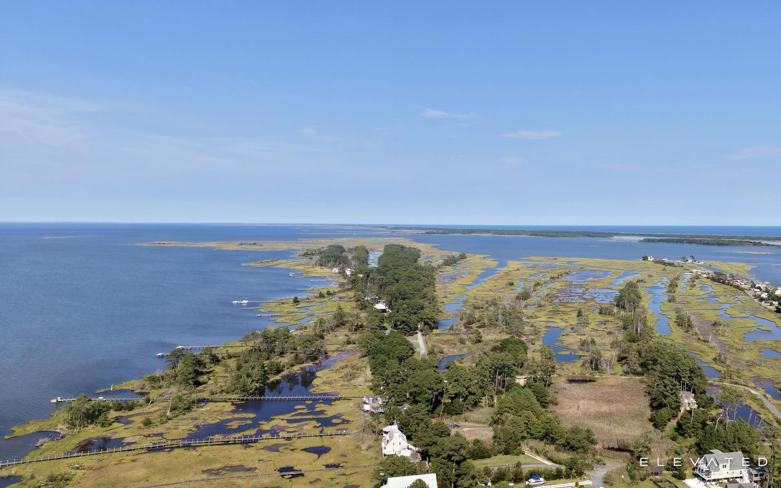
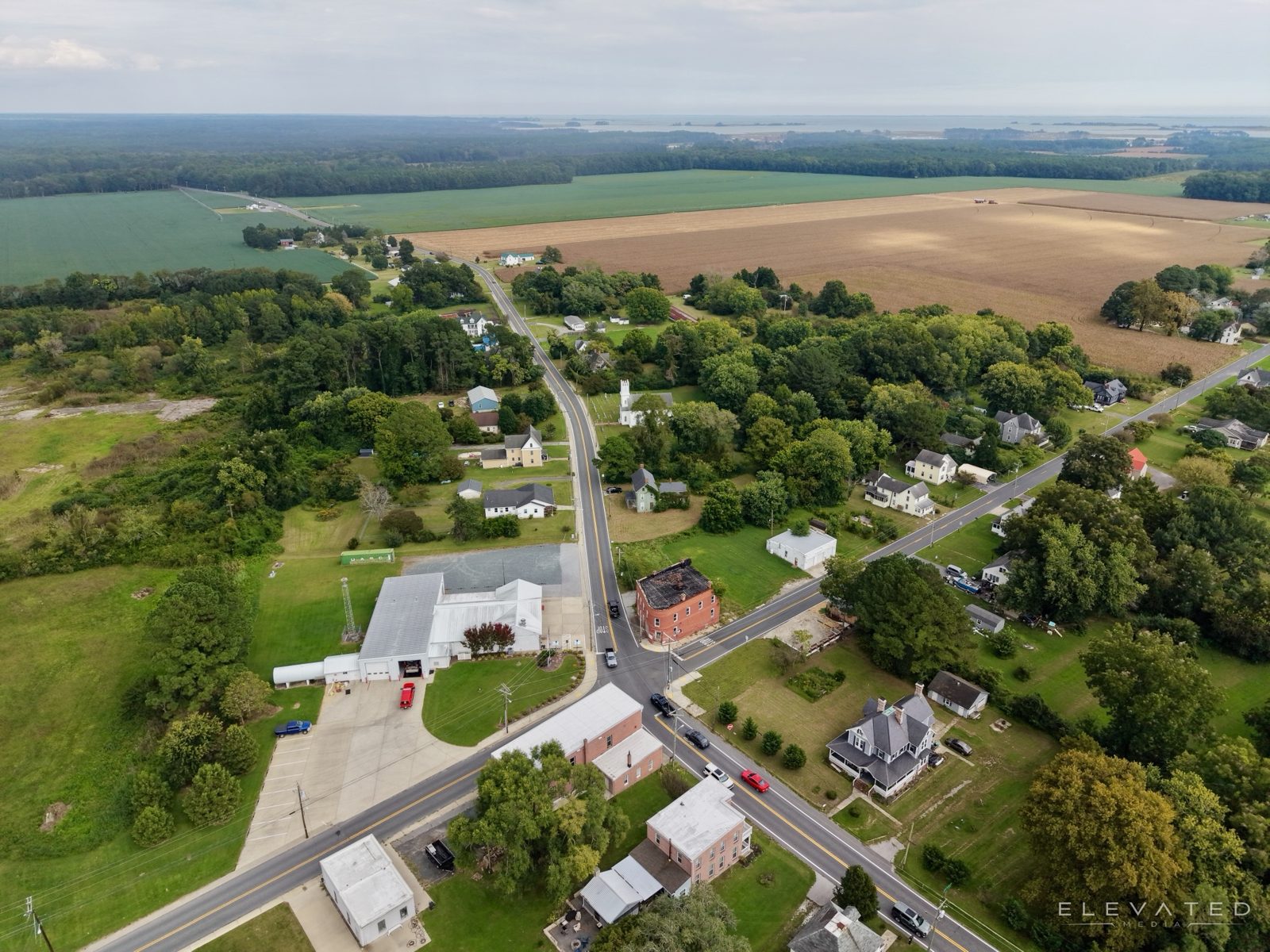
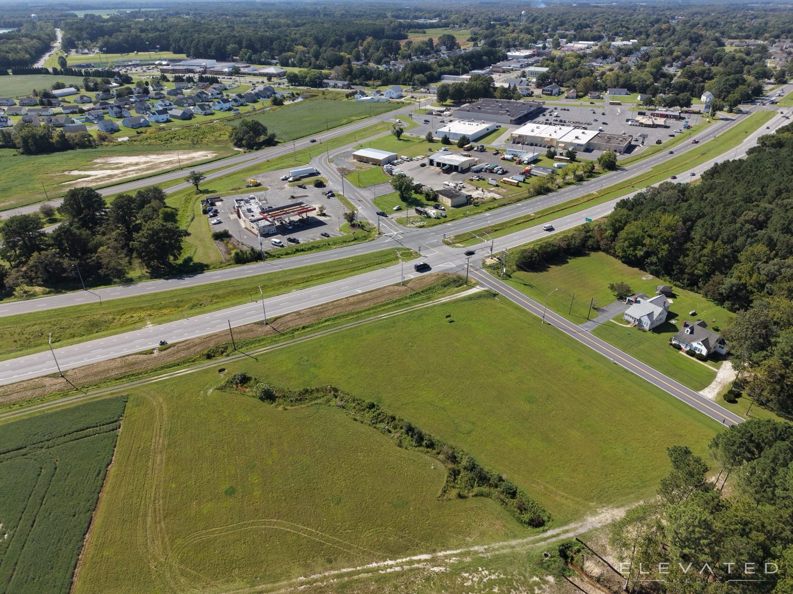
Lot lines, water access, tree cover, and the neighborhood, flown by an FAA-certified pilot.
Aerial and walkthrough footage edited into one cinematic film, plus a vertical cut for Reels and TikTok.
A branded single-property page with photos, video, details, and a contact form, ready to share the day the listing goes live.
Sunset exteriors and aerials, short social clips, and agent intro videos that keep a listing in front of buyers.
Aerial and interior footage, edited in-house into one polished film. Press play with sound on.
Interiors and exteriors that make buyers want to see it in person, and aerials that show what ground photos can't: the lot lines, the water, and the neighborhood.
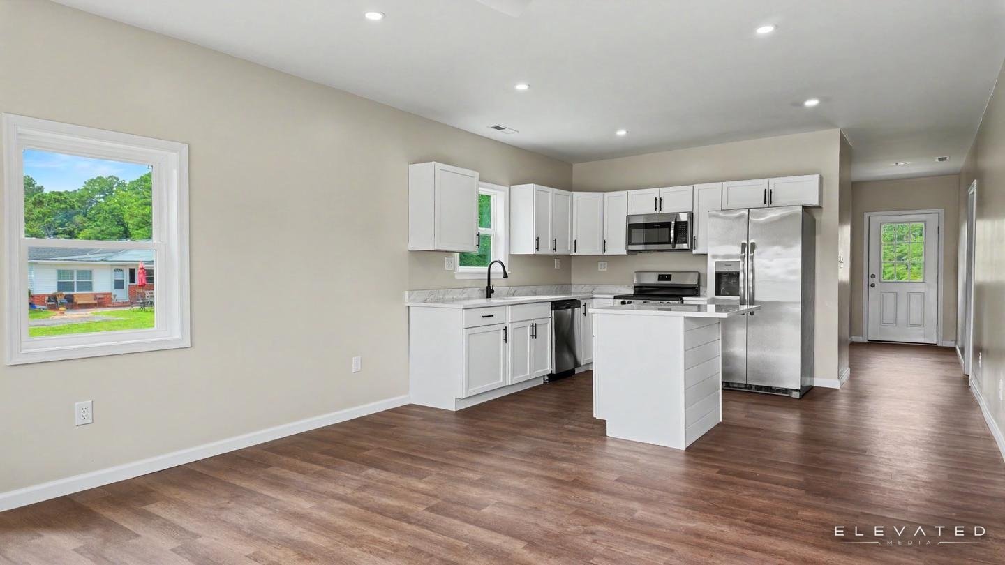
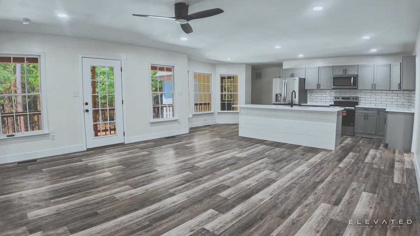
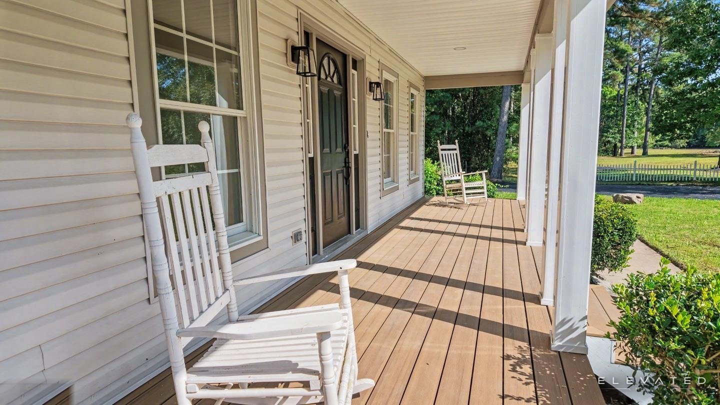
A full listing package: interior, exterior, and aerial photos on a branded property website.
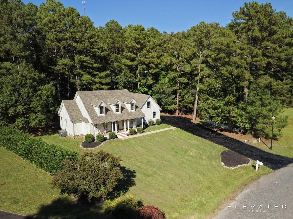
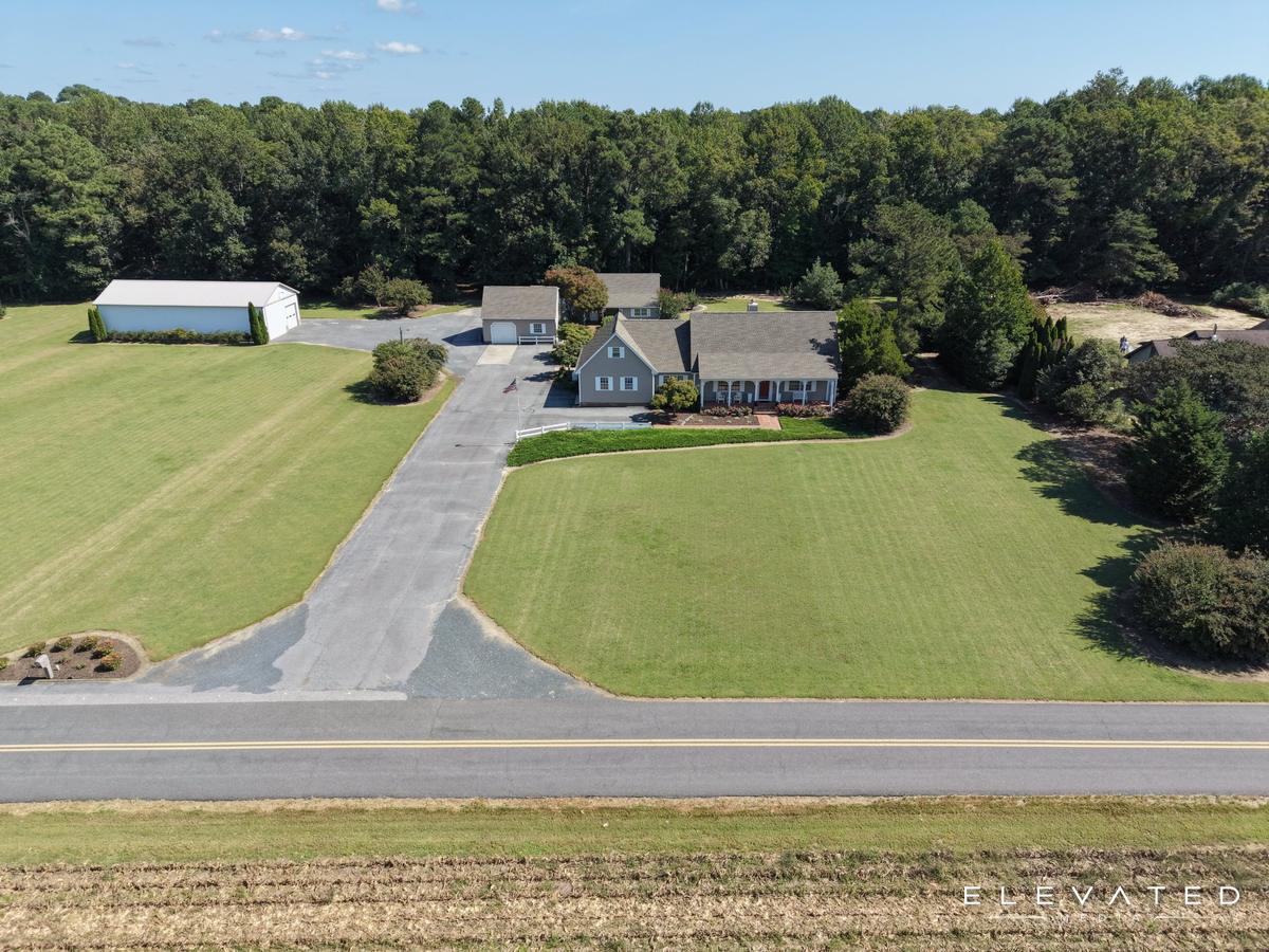
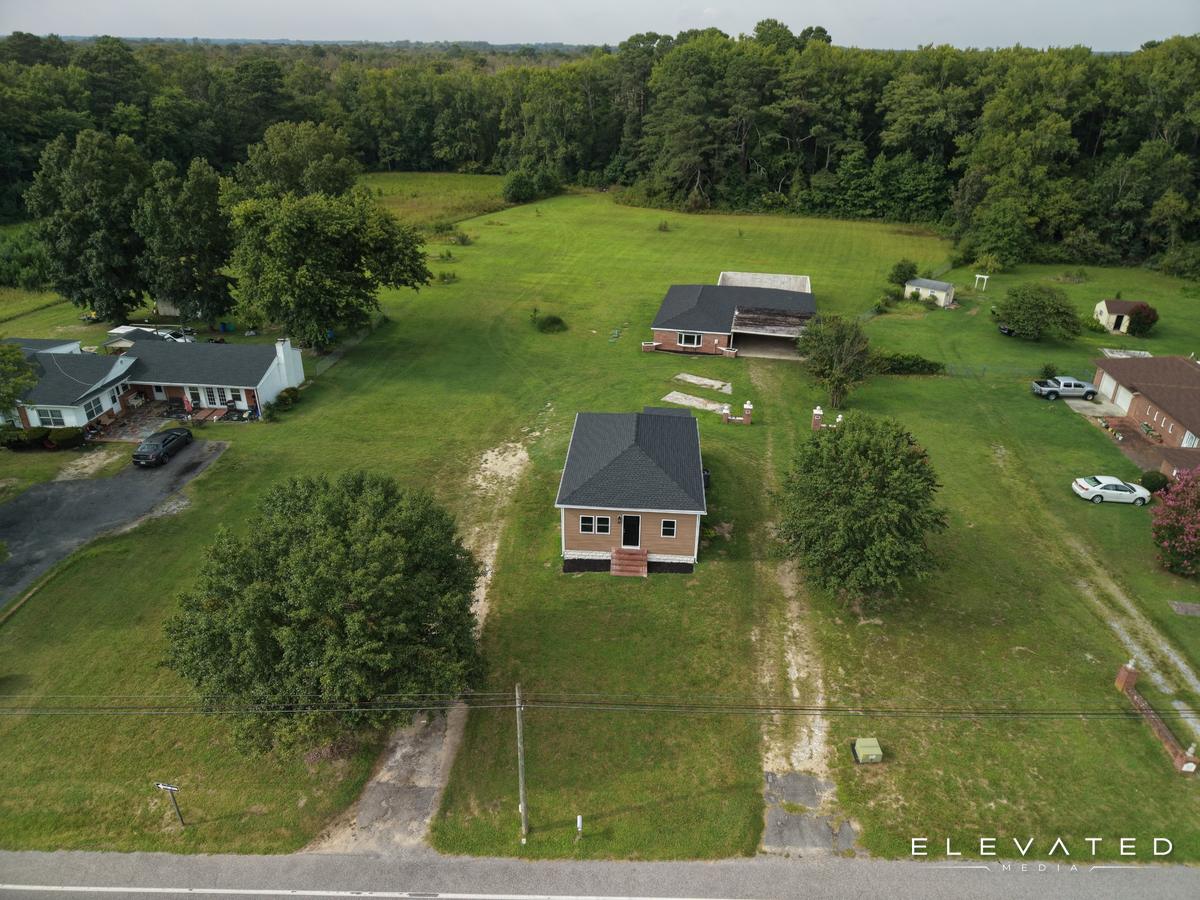
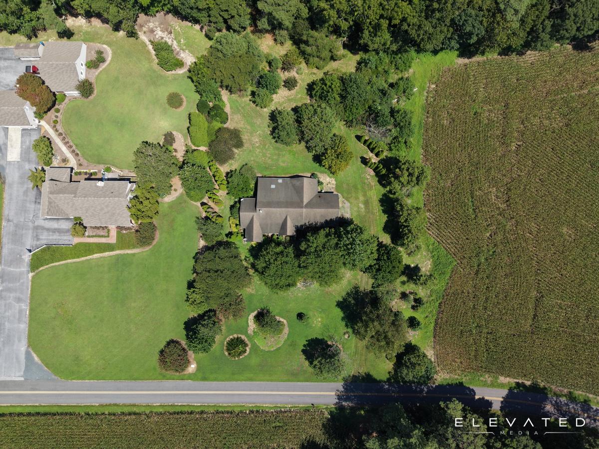
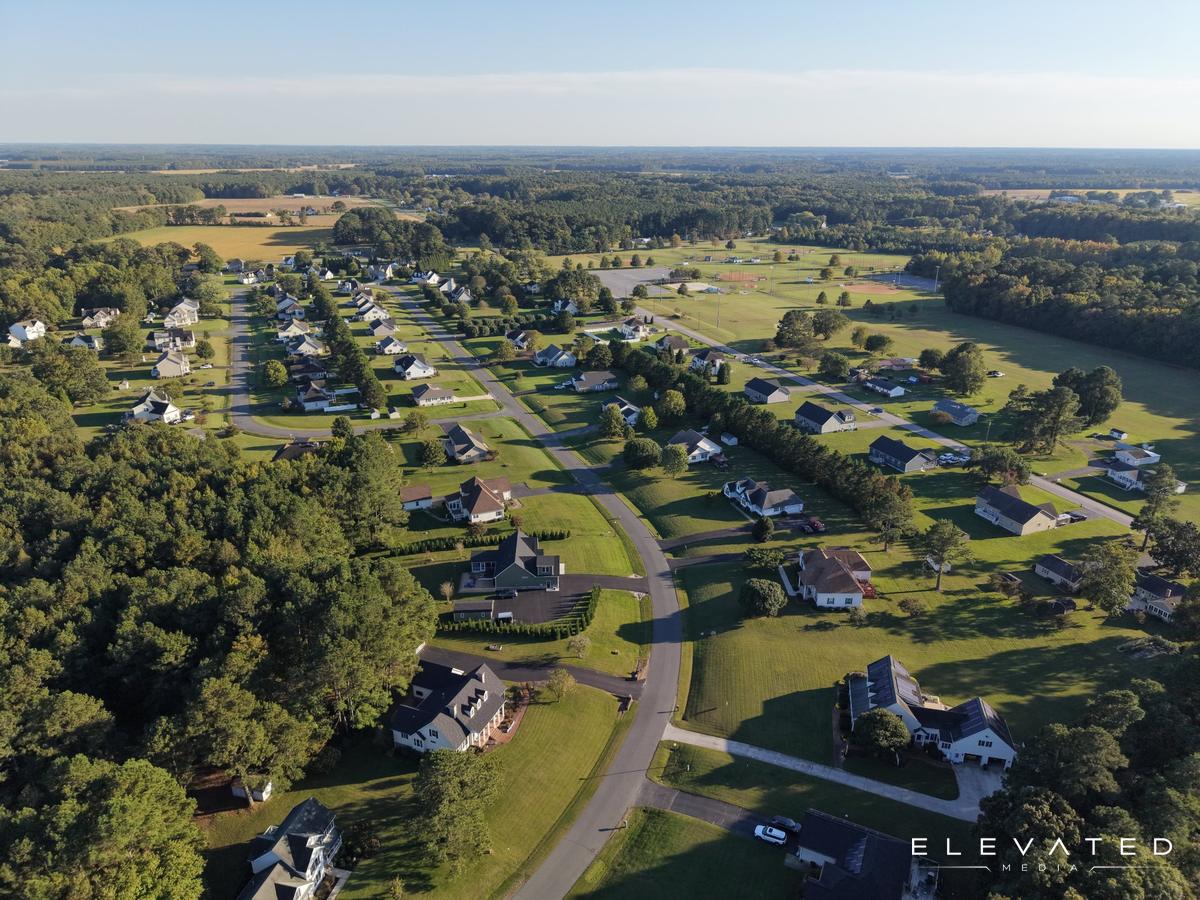
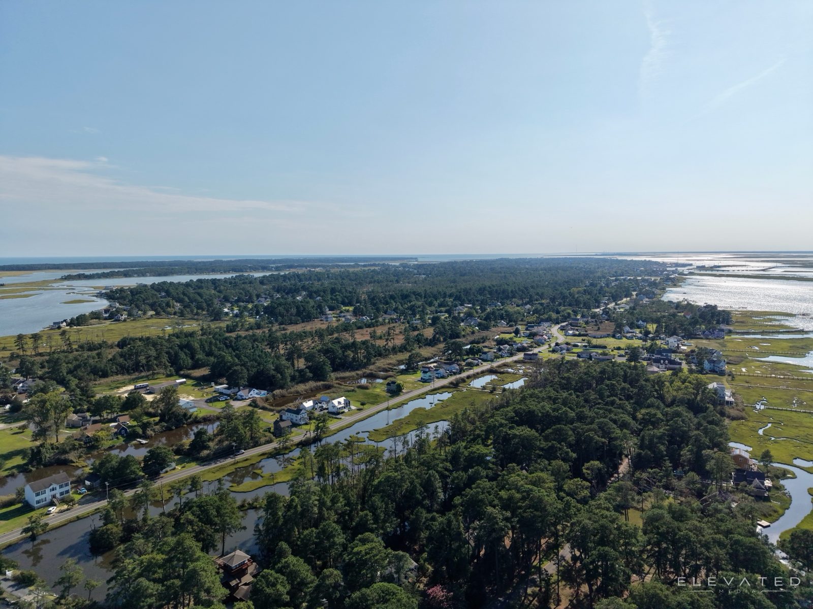
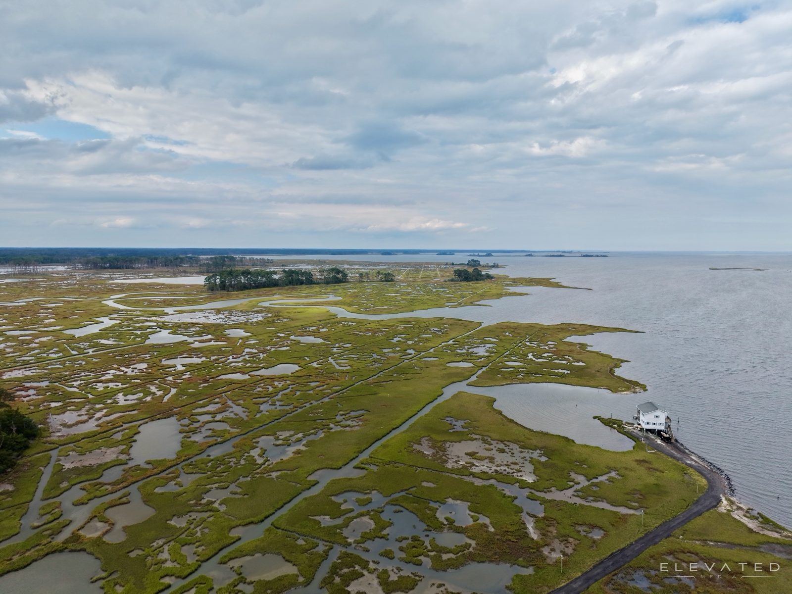
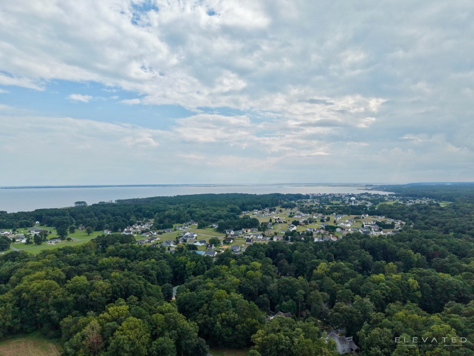
Every package includes editing, color correction, and web and MLS-ready files delivered by download link.
For lots, land, and listings that only need the view from above.
Interior and exterior photos for any listing.
The full photo set, inside, outside, and above.
Everything a listing needs to launch.
Standard delivery is 48 hours. Travel is free within 30 miles of Pocomoke, then $1 per mile. If wind or weather makes it unsafe to fly, the aerials are rescheduled at no charge.
The same drone and camera work, for land, contractors, local businesses, and events.
Bright interiors and drone shots that make an Airbnb or VRBO listing stand out and book faster.
Photos and short videos of shops, restaurants, marinas, and campgrounds for websites, ads, and social media.
Acreage, field layout, and road frontage for sales, surveys, or the family record.
Progress flights and before-and-after videos that show owners, lenders, and future customers the work.
Close aerial photos of roofs, gutters, and storm damage without anyone climbing a ladder.
Aerial and ground coverage of community events, plus a frame-worthy photo of your home or waterfront.
Send the address, the package, and a couple of dates that work. You'll get a confirmed time by text.
Interiors, exteriors, and aerials in one visit. I check weather and airspace before every flight, including the FAA authorization needed near Ocean City and Salisbury airports.
Edited photos and video arrive by download link within 48 hours, sized for the MLS, websites, and social media.
I'm Jacob Glovier, a photographer, videographer, and FAA-certified drone pilot based in Pocomoke. I started Elevated Media to give Shore properties and businesses the kind of photos, video, and aerials usually reserved for big-city listings.
I'm also a licensed real estate agent, so I shoot with buyers in mind: the rooms they'll walk through first, the curb appeal, and the lot and water access are the shots that get calls.
Fill in the details and I'll put together a request you can text or email me. Or just call, text, or email directly.